Secondary
Secondary
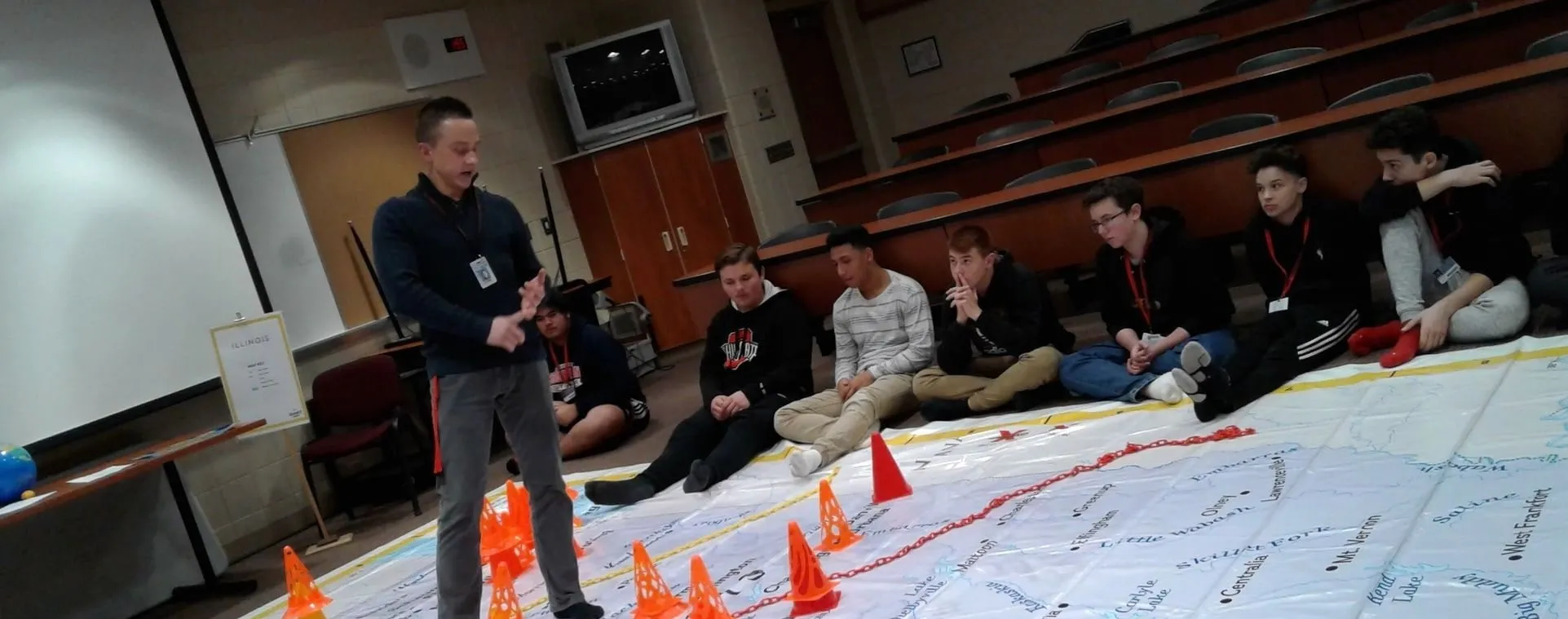
- Advance students' comprehension of multiple subjects with the "On the Move" lesson using National Geographic's Giant State Map. GeoCivics was designed to prepare students to create congressional districts for their states. To lay the groundwork for this process, the Giant Map can engage students in topics such as the purposes of the census, distribution of resources, population change over time, language patterns of place names, and physical features.
- For the next phase of the project, provide an understanding of the Constitution, enumeration, the Electoral College, apportionment, and redistricting. Students in an advanced government or U.S. history class may spend several days devoted to these topics, extending to historical Supreme Court cases and current events. For a sample outline, see this PowerPoint presentation.
- Incorporate online mapping activities into instruction. Start with Esri's Geo Inquiries for government, mathematics, or world history. Explore Google Maps for Education. Investigate the mapping resources offered by National Geographic.
- Discuss which geographic tools are appropriate for a particular situation. For instance, the Giant State Map is a good tool for understanding movement on urban corridors, but online maps are better for outlining electoral districts. A paper map of the U.S. may help students plan the route for a road trip from Maine to Arizona, but electronic city maps will be useful when looking for a place to stay for the night.
- Remember to use geographical analysis when teaching subjects outside of geography: movement of people for jobs or away from trauma causes transformation in the economy; changes in the demographics of the population alter political representation at various levels of government; and analysis of census data enhances mathematical skills using real-world situations. Events take place somewhere. Investigate the WHY of WHERE.
- The culmination of the project is an online map, divided into as many electoral districts as appropriate for the topic of the class. Following the creation of these maps, students can discuss how they decided where to draw the lines and what the implications of their decisions might be for candidates and for the electorate.
- Open-ended assessment questions are available.