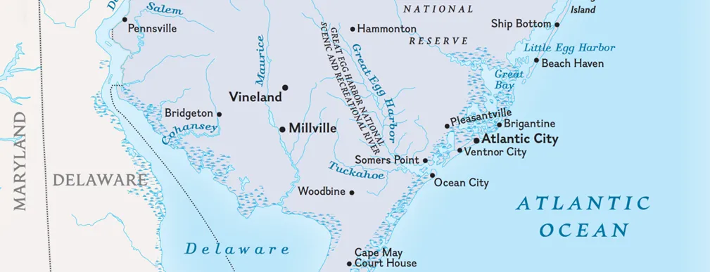
New Jersey
Step 1. Review

Review population trends with New Jerseyans On the Move, an interactive demonstration of population movement in the state over three time periods.
Step 2. Discuss
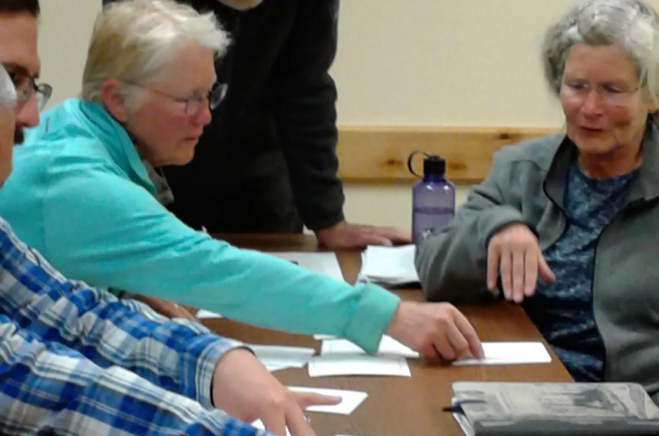
Discuss how to prioritize redistricting criteria using Flashes of Insight cards or an online game.
- Redistricting in New Jersey: By-laws (background)
Step 3. Describe

Describe and map your community with online tools from Representable.org to understand what issues are important in your neighborhood and region. Use both written and geographic descriptions to explain your community.
Step 4. Practice

Practice using geospatial technology tools in preparation for drawing sample electoral district lines with accessible, step-by-step instructions.
- What Is a Gerrymander? Investigate Esri's StoryMap, "A geographic exploration of USA's congressional districts"
- New Jersey ArcGIS Online Redistricting Exercise (2010 census data)
Step 5. Draw
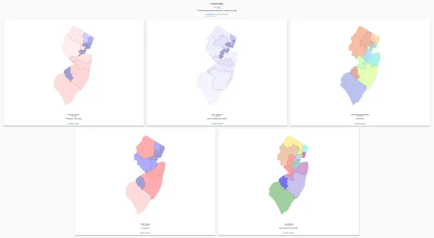
Draw electoral districts with 2020 Census data using open-source geospatial technology tools.
- Explore Districtr and District Builder.
- Examine the "Notable Maps" detailed in Dave's Redistricting App to investigate different approaches to drawing electoral district lines.
Step 6. Analyze
Analyze redistricting maps, including any maps you created, the existing approved state maps, and various proposed maps in Dave's Redistricting App.
- Evaluate the fairness of electoral district maps using PlanScore, from the Campaign Legal Center.
- Explore the partisan lean data from FiveThirtyEight to consider which party might benefit from a particular map.
- Investigate the Redistricting Report Card, from the Princeton Gerrymandering Project.
Step 7. Learn
Learn about issues in your community that are affected by people who represent you at the local, state, and national levels.
- Who else do you vote with? Who are your elected representatives? How did the lines change from the previous districts? How do your city, county, school board, state, and congressional districts fit together? Did your districts grow or shrink in area? How would you describe your districts (competitive, gerrymandered, representative)?
- Recall the information you identified while describing your community. What else do you need to consider when drawing districts? What watershed do you live in? What school districts serve your area? What issues are decided by state legislatures and local elected bodies that you care about?
- What suggestions do you have for the people who will draw the lines in 2030?
Organizations and Perspectives
- Ballotpedia (website with overview and data)
- New Jersey Census Data (website)
- New Jersey Redistricting Commission (website)
- New Jersey Redistricting and Apportionment (website)
- New Jersey Department of Labor and Workforce Development (FSCPE)
- New Jersey Geographic Information Network Open Data Portal (website)
- Congressional Districts (map)
- Political Linedrawing 'Compactness' Perplexes NJ Justices
- Alex Ebert, Bloomberg News, January 6, 2025
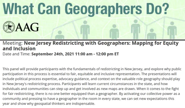
- New Jersey Redistricting With Geographers: Mapping for Equity and Inclusion (panel discussion)
- American Association of Geographers, Redistricting Panel Series, What can geographers do?
- Accessible to the public, but requires you to sign in
- New Jersey State Bar Foundation - The Informed Citizen (blog)
- Here's how legislative and congressional redistricting works in N.J. - and what's at stake.
- Tennsyson Donyea, WHYY, November 18, 2021